UN
51 Broadlands
£ 172,000
Description
We don't have a Description for this property.
- Bedrooms
- 2
- Bathrooms
- 0
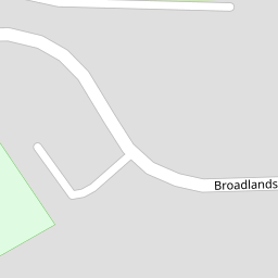
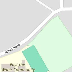


Leaflet © OpenStreetMap contributors
The heatmap indicates the level of crime in the area. The color of the heatmap indicates the crime severity and recency.
Metrics Year-on-Year
- Average area value
- 309,173.00 £Increased by 7.80 %
- Average area rental value
- 765.00 £/moDecreased by 21.22 %
- Est rental Yield
- 2.97 %Decreased by 26.85 %
- Crime Rate
- 7.00 %Unchanged by 0.00 %
from 286,796.00 £
from 971.00 £/mo
from 4.06 %
from 7.00 %
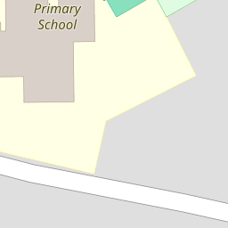
Nearby Schools
| Name | Type | Ofsted | Distance |
|---|---|---|---|
| East-The-Water Community Primary School | Community School | Good | 0.20 KM |
| Bideford Bay Children'S Centre | Children's Centre | 2.12 KM | |
| St Mary'S Church Of England Primary School | Voluntary Controlled School | Good | 2.23 KM |
| West Croft School | Community School | Requires improvement | 2.59 KM |
| Kingsley School | Other Independent School | 3.34 KM |
Images
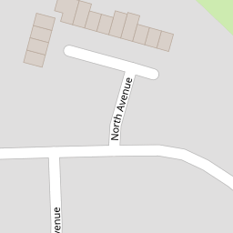
Nearby Streets
| Name | Average Price | Average Sqft | Distance |
|---|---|---|---|
| South Avenue | £ 215,000 | 0 | 0.00 KM |
| North Avenue | £ 210,000 | 0 | 0.00 KM |
| Trent Close | £ 282,500 | 0 | 0.00 KM |
| Fillablack Way | £ 0 | 0 | 0.00 KM |
| Heathfield Road | £ 222,500 | 0 | 0.00 KM |
Nearby Listings
| Address | Price | Type | Score | Distance |
|---|---|---|---|---|
| Bideford, Devon | £ 230,000 | BUY | 6 / 10 | 0.01 KM |
| Broadlands, Bideford | £ 180,000 | BUY | 6 / 10 | 0.01 KM |
| South Avenue, Bideford | £ 185,000 | BUY | 5 / 10 | 0.10 KM |
| Broadlands, Bideford | £ 230,000 | BUY | 7 / 10 | 0.11 KM |
| Kathleen Grange, Bideford, Devon | £ 400,000 | BUY | 7 / 10 | 0.13 KM |
Nearby Properties
| Address | Price | Distance |
|---|---|---|
| 21 Broadlands | £ 147,000 | 0.00 KM |
| 48 Broadlands | £ 145,000 | 0.00 KM |
| 47 Broadlands | £ 134,000 | 0.00 KM |
| 39 Broadlands | £ 115,000 | 0.00 KM |
| 51a Broadlands | £ 190,000 | 0.00 KM |